
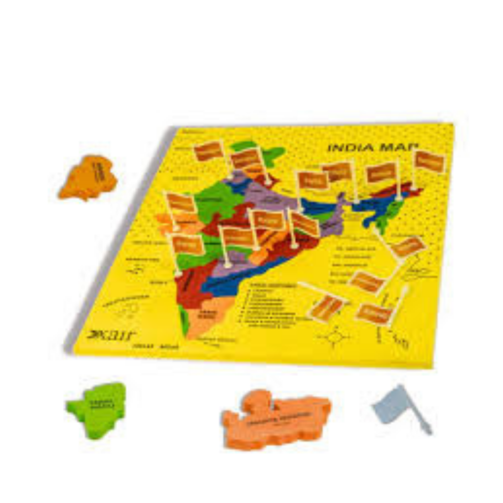
Description
The India Puzzle Map is a foundational Montessori Geography material used to introduce children to the political map of India. By handling individual wooden state pieces, children build spatial awareness of the nation's geography through visual, tactile, and muscular memory.
Key Benefits & Learning Outcomes
Spatial & Regional Awareness: Teaches the shapes, relative sizes, and locations of India's states and union territories.
Fine Motor & Sensorimotor Development: Small knobs attached to each state piece refine the pincer grip—preparing the child's hand for writing—while placing pieces develops spatial reasoning.
Language & Vocabulary: Serves as the concrete foundation for three-period lessons introducing state names, capitals, and regional groupings.
Preparation for Map Reading: Introduces map conventions, such as using blue to represent surrounding bodies of water (the Arabian Sea, Bay of Bengal, and Indian Ocean).
Design & Materials
Included Components:
1 Wooden map frame with a blue background representing surrounding oceans.
Individual laser-cut wooden puzzle pieces for each Indian state, fitted with small wooden or plastic knobs.
Material: Premium hardwood plywood painted with non-toxic, high-contrast lacquers.
Features: Each knob is positioned precisely over the capital city of its respective state, adding an extra layer of geographical accuracy during presentations.
Reviews
There are no reviews yet.