Description
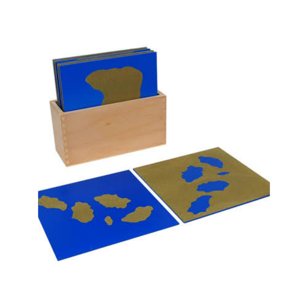
The Land & Water Forms Control Cards (also referred to as Land and Water Form Nomenclature Cards) are an essential Montessori Geography material designed to teach children geographical definitions and geographic landforms through self-correcting matching activities.
Key Benefits & Learning Outcomes
Self-Correction & Independence: The intact control card (picture + label) allows children to check their own matching work independently without relying on an adult for verification.
Geographical Definition & Pair Recognition: Highlights geographical opposites to deepen conceptual understanding of physical geography features.
Reading & Vocabulary Development: Connects abstract geographical terms with clean, isolated graphic illustrations and simple descriptive definitions.
Preparation for Map Reading: Helps children interpret abstract blue (water) and brown/green (land) shapes found on world maps and landform trays.
Design & Materials
Included Components:
Control Cards: Cards featuring both the graphic illustration and printed label attached.
Mute/Picture Cards: Cards showing only the visual landform illustration.
Label Cards: Separate printed title labels for matching.
Definition Cards (Advanced): Cards containing the descriptive text explaining each landform.
Material: Heavy laminated cardstock or printed hardwood cards with non-toxic ink coatings.
Features: Utilizes standardized visual color isolation—brown representational land shapes paired with bright blue water areas for clean visual clarity.
Reviews
There are no reviews yet.